Cover image: A storm system swirling over the Arabian Sea, photographed from the International Space Station — NASA, public domain.
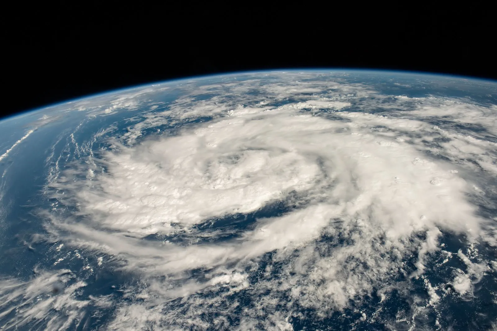 A storm system swirling over the Arabian Sea, photographed from the International Space Station.
Two storms in two days: the season's fast start
The winter storm season has barely begun and the United Kingdom is already bracing for its second named storm in a matter of days. The Met Office has confirmed that Storm Boelo — pronounced "Boo-loh" — will sweep across Northern Ireland, Scotland and northern England over the weekend, arriving hot on the heels of Storm Austen, which was forecast to deliver severe gales to southern England and Wales on Thursday night and Friday.
The naming makes Boelo only the second storm of the 2026/27 season, yet the two systems will strike the country in quick succession: Austen first, battering the south, and Boelo following almost immediately to hammer the north. Forecasters have described the coming days as an "impactful weekend of weather", with the Met Office warning that strong winds and heavy rain will combine to bring disruption to travel, power supplies and coastal areas.
The rapid sequence matters because it gives communities, councils and transport operators almost no breathing room between events. Fallen trees, damaged infrastructure and saturated ground from the first system can make the second one harder to deal with — a pattern the Met Office watches closely whenever storms arrive in clusters at the start of winter.
Boelo's forecast: where, when and how strong
According to the Met Office, Storm Boelo is a deep area of low pressure that is being "invigorated by an active jet stream as it crosses the Atlantic", and is expected to reach Northern Ireland and western Scotland on Saturday afternoon. From there it will spread strong westerly winds across the northern half of the UK, building through Saturday evening and persisting overnight and through much of Sunday before gradually easing from the south west.
A yellow wind warning covers the whole of mainland Scotland, the Western Isles, Orkney and the far north of England from 6pm on Saturday until 9pm on Sunday. The Met Office forecasts "widespread gusts" of 55 to 65mph across that area, rising to 70 to 80mph in more exposed coastal locations and on high ground.
A separate yellow wind warning covers Northern Ireland from 6pm on Saturday to 3pm on Sunday, with gusts of 50 to 60mph expected widely and up to 65 to 75mph in exposed spots. Heavy rain is forecast to move in from the west on Saturday and spread across the whole country through the day, compounding the effect of the wind.
Chris Bulmer, the Met Office's deputy chief forecaster, said: "Storm Boelo will bring strong winds and heavy rain to Northern Ireland, Scotland and parts of northern England over the weekend, impacting the opposite end of the country to Storm Austen." He added: "Gusts of 70-80mph in exposed coastal areas and high ground are possible, with 50-60mph gusts more widely."
The warnings flag the usual roster of storm impacts: flying debris, damage to buildings including roof tiles being blown loose, possible power cuts — with knock-on effects on services such as mobile phone coverage — and longer journey times or cancellations across road, rail, air and ferry services. The Met Office also urges coastal caution, warning that large waves and beach material thrown onto seafronts and coastal roads pose a "danger to life".
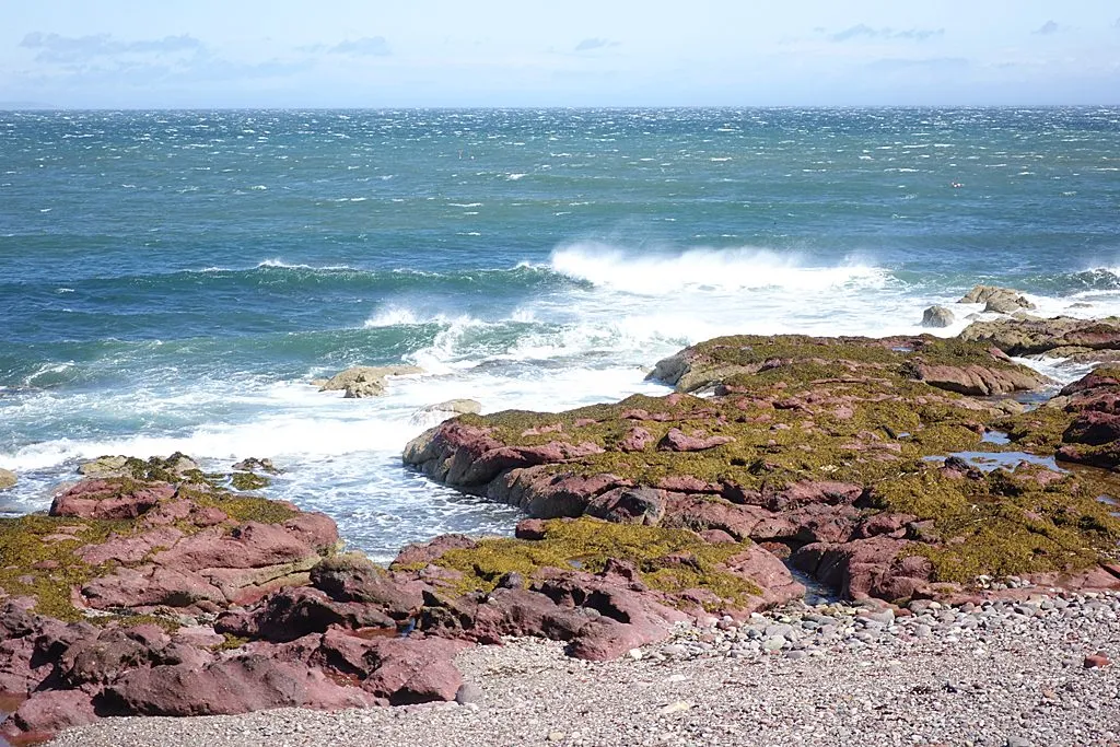 Storm waves breaking along a Scottish coastline during Storm Floris.
Photo by Anne Burgess, via Wikimedia Commons, licensed CC BY-SA 2.0.
Austen first, Boelo second: opposite ends of the country
Boelo is a separate low pressure system from Storm Austen, the season's first named storm — not a single storm drifting around and returning, but two distinct lows following one another across the Atlantic. That distinction explains the unusual geography of the weekend: Austen was forecast to strike the southern half of the country on Thursday night and Friday, with an amber wind warning — the second-highest level — in place for Cornwall, Devon and the Isles of Scilly from 1am on Friday, and gusts of 60 to 70mph widely with up to 80mph on exposed headlands. Spells of heavy rain were forecast to accompany those winds before conditions eased later on Friday.
As Austen clears into the North Sea, Boelo arrives from the opposite direction to target the north. It is a rare near-swap: two named storms, hitting two different ends of the same country, within about 48 hours of each other. Our earlier reporting on Storm Austen and the severe gales expected in the UK covers that first system in full; this article focuses on the new development and the science behind the back-to-back sequence.
The Met Office's chief forecaster, Neil Armstrong, had separately cautioned that Austen's winds would arrive while trees are still in leaf, making it more likely that fallen branches and trees obstruct roads and railways — and urged extra care on the Friday morning commute. With Boelo following so quickly, the same logic applies in reverse: anyone travelling in the north over the weekend should check conditions before setting off.
The meteorology: an active jet stream doing the driving
What makes two named storms in two days possible is the state of the jet stream. High above the Atlantic, a fast-moving ribbon of air flows from west to east, and when it strengthens it can act like a conveyor belt, steering one deep low pressure system after another towards the British Isles. The Met Office explicitly identifies this mechanism in Boelo's case: the low is being invigorated by an active jet stream as it crosses the Atlantic, a classic recipe for the rapid deepening that turns an ordinary autumn low into a named storm.
This is the same engine that has driven the UK's most disruptive winter storm clusters in the past. When the jet stream dips south and intensifies, the UK sits directly in the firing line of the storm track, and individual systems can deepen explosively as they approach. The result is exactly what is happening this weekend: barely has the first system moved away than the next is already barrelling in.
The timing is also significant because the season is just getting started. The storm season for 2026/27 officially opens in September, and seeing the first two names used by late October signals that the Atlantic is already in a lively mood. Whether that early activity is a taste of the winter to come is something forecasters will not say — long-range seasonal outlooks carry far more uncertainty than the day-by-day forecasts — but a stormy October is a reminder that the UK's weather can turn on a dime once autumn sets in.
Readers interested in how large-scale climate patterns shape the weather should also see our explainer on five ways El Niño is affecting weather around the world, which looks at the global forces behind regional extremes.
How storms get their names
Boelo is not a random label. The Met Office, Ireland's Met Éireann and the Netherlands' KNMI have run a joint storm-naming scheme since 2015, publishing one list of names each September for the coming winter. Storms are named when they are expected to cause medium or high impacts — the idea being that a name makes warnings easier to communicate, keeps the public engaged, and reduces confusion when several systems are active at once.
This season's list, unveiled on 1 September, was drawn from more than 40,000 public suggestions, with each of the three meteorological agencies contributing seven names used in alphabetical order. Austen — contributed by Ireland — opened the season. Boelo, from the Netherlands' share of the list, is next. The third name waiting in the wings is Chloe, contributed by the UK. After that comes Dano, Evelyn, Finn, Gwendolyn, Heather, Ivy, Jade, Kilian, Laoise, Miriam, Nicola, Olaf, Phelim, Ruban, Shaun, Theo, Vesna and Wende. The alphabet runs without Q, U, X, Y and Z.
The system has precedents for quick doublings like this weekend's. Past seasons have repeatedly seen names assigned within days of each other whenever the Atlantic storm track switches on — which is precisely why the Met Office keeps the whole alphabet ready. Naming two storms in two days is not a record or a warning of something unprecedented; it is the scheme working exactly as designed when the weather pattern delivers.
What "impactful winds" means on the ground
Beyond the numbers, the practical question is what the warnings mean for daily life in the affected regions. The Met Office's guidance, issued alongside the yellow warnings, urges residents in Scotland, Northern Ireland and northern England to secure loose outdoor objects — bins, garden furniture, trampolines, tents and sheds — before the strongest winds arrive. Drivers and passengers are advised to check road conditions and public transport announcements before travelling, since the combination of strong winds and heavy rain is expected to produce longer journey times and possible cancellations.
Power cuts are a real possibility, and the Met Office recommends preparing as if one might happen: gather torches and batteries, keep a mobile phone power pack charged, and remember that a loss of power can knock out other services too. Coastal communities face the sharpest edge of the storm, with the Met Office advising people to stay aware of large waves — even from the shore, breaking waves can sweep a person off their feet — and to keep away from cliffs and exposed seafronts, keeping dogs on leads.
The guidance also stresses that warnings can change quickly. Severe weather warnings and forecast detail continue to be updated as confidence in the exact track and intensity grows, so the Met Office recommends that people in the warning areas stay up to date with the latest forecasts rather than assuming Saturday's picture will hold unchanged through Sunday. That message applies to anyone following the weekend's developing weather story, and our world coverage continues to track the season's storms as they develop.
Finally, it is worth remembering that the science of storms is only one half of the story — the other half is how a warmer atmosphere and changing oceans reshape the extremes we experience. As researchers continue to investigate how the climate shifts the odds of events like this one, Verity's science section will keep following the evidence, from the jet stream above the Atlantic to the waves breaking on Scotland's shores. For more on how climate change is already showing up on Britain's coasts, see our report on the rainbow sea slug found in Cornwall as a stark reminder of climate change.